Photo:
Wegge, Bjørn
/
Anno Musea i Nord-Østerdalen
(In Copyright)
Grautbekkhuset
Kartref.: 254.034 (B) 1519 IV
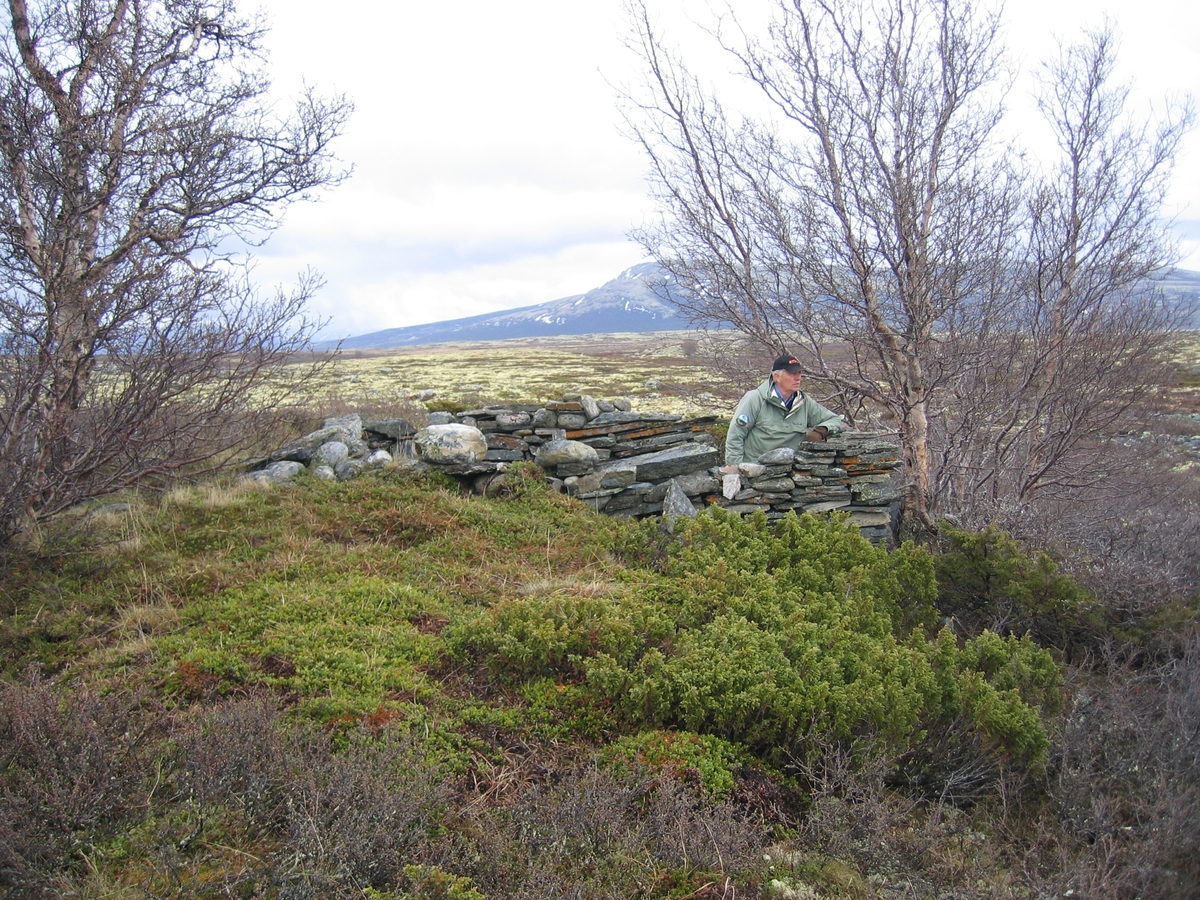
Beliggenhet: I Hjerkinn skytefelt. Omtrent 150 meter sør for veien mot Langranden. Omtrent 250 meter sør for den gamle søppelplassen. I kanten av (syd ...
Kartref.: 254.034 (B) 1519 IV
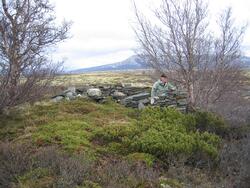
Beliggenhet: I Hjerkinn skytefelt. Omtrent 150 meter sør for veien mot Langranden. Omtrent 250 meter sør for den gamle søppelplassen. I kanten av (sydenden av) en bjørkekrull. Et lite vassikkel omtrent 15 meter foran buresten. Grautbekken renner her i morenemark og dette vassikkelet er endel av Grautbekken. Omtrent 600 meter innenfor grensen til Dovrefjell statsalmenning.
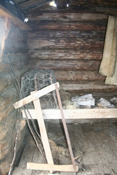
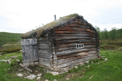
Bruk: Dette er restene etter en gammel jakt- og fangstbu.
Byggemateriale: Steinbu, delvis gravet inn i bakken.
Mål: Ca 3,0 x 3,2 meter. Døråpning (mot sør) ca 80 cm.
Forfatning: Bare de murete steinveggene står tilbake. Disse er omtrent 1,6 meter høye (målt innvendig).
Eier: Per M. Sæther forteller at denne bua til alle tider har tilhørt Rydningsøyen (152-1).
Annet: Ifølge rettsdokumenter i Eidsivating lagmannsrett ankesak 98/61 (rettsak om jaktrettigheter Dovre-Folldal), se brev fra Erik Bryn til Landbruksdepartementet av 3/1 1957, skriver denne bua seg fra ca 1720.
Jeg besøkte denne buresten sammen med Per M. Sæther den 28. juli 1999.
Foto: Ja. Side 120-121.
Tegning nr 52.


Add a comment or suggest edits
To publish a public comment on the object, select «Leave a comment». To send an inquiry directly to the museum, select «Send an inquiry».