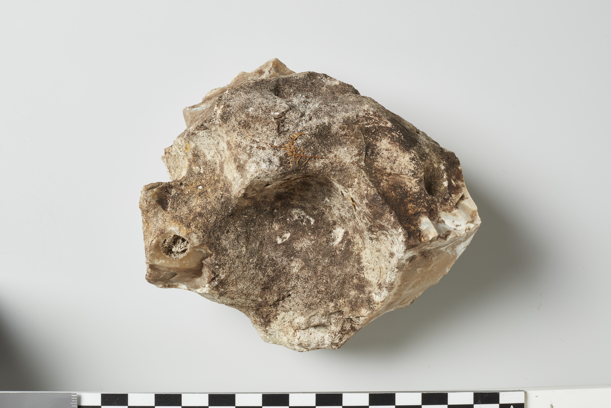
De arkeologiske utgravningene av lokalitet 21 er en del av et større utgravningsprosjekt i regi av Kulturhistorisk museum i forbindelse med breddeutvidelsen av E6 fra to til fire felt gjennom Østfold. Lokalitet 21 utgjør en større boplass sammen med lokalitet 56 (C53710 og C53711). Lokalitet ligger i et jordbrukslandskap tilhørende Årumgårdene. Jordbrukslandskapet er delt av en nordøst-sørvest gående bergrygg hvor det ligger tett med helleristninger.Lokalitet 21 ligger i sin helhet i dyrket mark og er omkranset av et skogholt i nordvest-sørvest. Lokaliteten ligger på en høyde i lanskapet som faller mot øst, ut på en slette og mot nåværende E6. Lokalitet 21 ligger mellom E6 og skogholtet, på høydedraget nord på jordet, mens lokalitet 56 ligger på høydedraget sørvest på jordet. Det ble foretatt maskinell flateavdekking på lokalitet 21. Det ble påvist spor etter et treskipet hus (hus 1). Utenfor hus 1 ble det påvist spredte stolpehull som ikke kan settes i forbindelse med noen bestemt hustolkning.

")


