History
-
Inmätning av husgrund 4 pågår, sett från sydväst
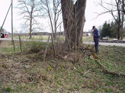
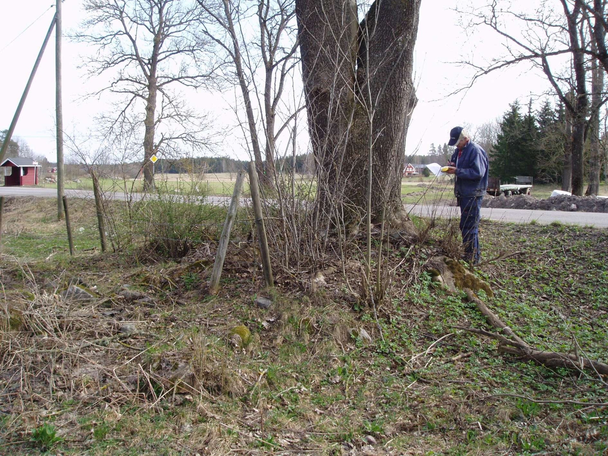
I samband med en kartering i april 2007 av husgrunder inom Valla by i Västlands socken kunde tre säkra husgrunder dokumenteras, två hak och en förhöjning. De tre säkra husgrunderna kan identifieras på storskifteskartan från 1768, men två av dem passar också in på laga skifteskartan från 1864. Det är därför svårt att med säkerhet fastställa grundernas ålder. Några fynd som ytterligare förstärker dateringen påträffades inte.
Fotografering: April 17, 2007
- FotografSyse, Bentsäker
Classification
-
- Arkeologi (Outline)OU 172
- Bebyggelsemönster (Outline)OU 361
References
-
- Projektnummer8234
- LitteraturreferenserSyse, Bent: Kartering och besiktning. Valla, Västlands sn, Uppland. Upplandsmuseets rapportserie 2007:09
License information
Metadata
- Copies1 Digital bild, Original
- IdentifierDIG015335
- Part of collectionUpplandsmuseets samlingar
- Owner of collectionUpplandsmuseet
- InstitutionUpplandsmuseet
- Date publishedApril 30, 2014
- Date updatedOctober 28, 2022
- DIMU-CODE011013969973
- UUID92975b58-30ec-4abe-b7df-73a88c5d7bae
- Tags
Add a comment or suggest edits
To publish a public comment on the object, select «Leave a comment». To send an inquiry directly to the museum, select «Send an inquiry».