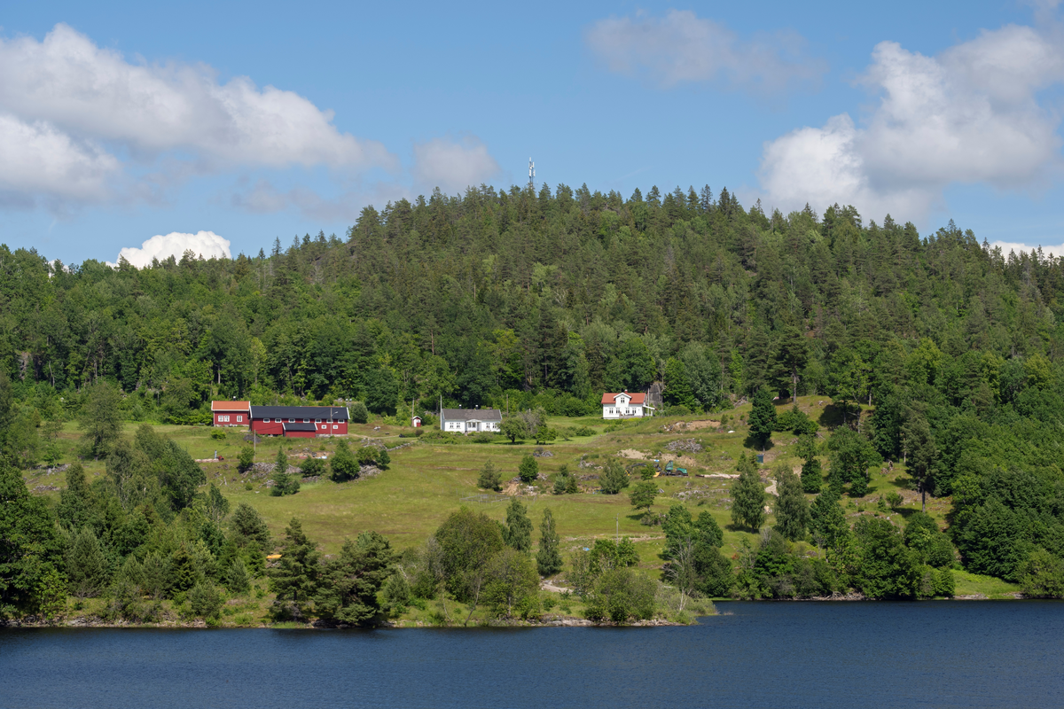
Bjørnø- eller Bjørnøy-gårdene i Kjose i Brunlanes i Vestfold. Disse eiendommene ligger på ei øy med samme navn i innsjøen Farris. Fotografiet er tatt fra Kjoseveien på fastlandet, ...
Fotografiet er tatt som illustrasjon til en artikkel Anita Wiklund Norli har skrevet om dølgsmålsfødsler i grevskapene Jarlsberg og Larvik på 1700-tallet. En av sakene som analyser ...
Fotografiet er tatt som illustrasjon til en artikkel Anita Wiklund Norli har skrevet om dølgsmålsfødsler i grevskapene Jarlsberg og Larvik på 1700-tallet. En av sakene som analyseres i artikkelen dreier seg om Anna Larsdatter, som i 1705 ble arrestert etter at det ble funnet et dødt lite jentebarn på en gård i Kvelde i Hedrum der hun hadde tjeneste. Anna hadde overfor flere øvrighetspersoner nektet for at hun var gravid, og hun hadde ikke tilkalt fødselshjelp. Anna ble dømt for fødsel i dølgsmål på seinsommeren i 1705, og i overbirkeretten i februar 1706. Dommen foreskrev halshogging, og at kroppen skulle begraves på retterstedet mens hodet skulle settes på en stake. Norli mener at lokalbefolkningen fikk medkjensle for den stakkers jenta, og at hun ble hjulpet til å rømme mens Gunder og Ole Bjørnø hadde ansvar for fangen som skulle hogges. De to Bjørnø-karene fikk store bøter for å ha forsømt vaktholdet.
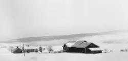
SubjectBjørnø- eller Bjørnøy-gårdene i Kjose i Brunlanes i Vestfold. Disse eiendommene ligger på ei øy med samme navn i innsjøen Farris. Fotografiet er tatt fra Kjoseveien på fastlandet, over sundet, med kameraet vendt fra sørvest mot nordøst. Lokalhistorikeren Lorens Berg (Brunlanes bygdebok, bind II, nyutgave 1979) antar at det var to gårdsbruk her fram til svartedauden midt på 1300-tallet, men tror at disse ble slått sammen til en driftsenhet etter at en stor del av lokalbefolkningen døde. Berg refererer til skriftlige kilder som nevner ett gårdsbruk på Bjørnø i seinmiddelalderen. Eiendommen inngikk da i jordegodset som tilhørte Tanum prestebol. På slutten av 1500-tallet, altså etter reformasjonen skal Bjørnø ha tilhørt Manvik-godset, men fra midten av 1600-tallet eide Tanum kirke hele øya igjen. Fra da av ble jordbrukseiendommen delt i to bruk. Kirka solgte eiendommene til beboerne i 1836. Fortografiet viser hvordan bebyggelsen på de to brukene lå øverst på den dyrkete marka, som strakte seg nesten helt ned mot strandlinja. Bak bygningene ser vi en åsrygg med forholdsvis tett blandingsskog.

")


Add a comment or suggest edits
To publish a public comment on the object, select «Leave a comment». To send an inquiry directly to the museum, select «Send an inquiry».