License information
-
License
Public domain mark (CC pdm)

")
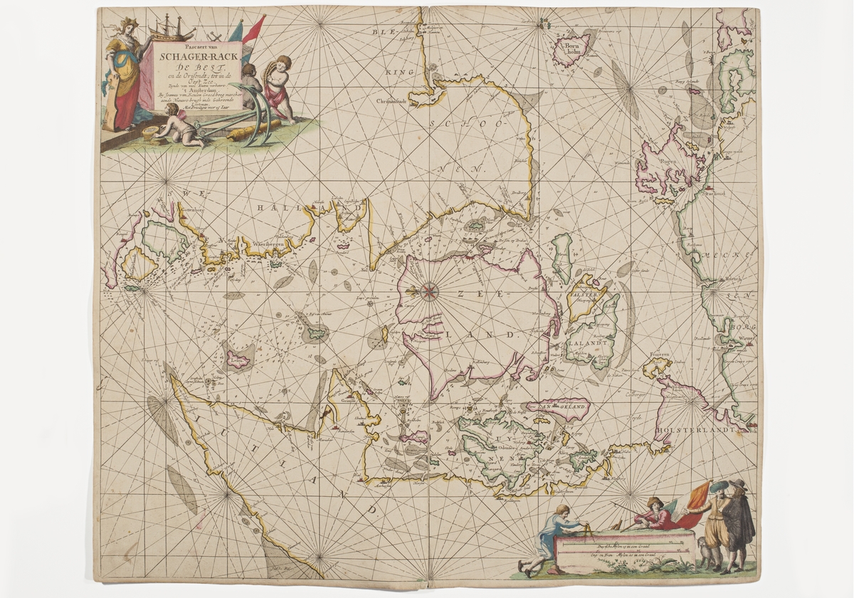
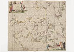
Sjökort över Skagerack. Sjökortet är orienterat med öster uppåt. Det som syns är Jylland, Själland, delar av tyska kusten med Rügen, Bornholm, Skåne, Halland och Södra Bohuslän. I ...


