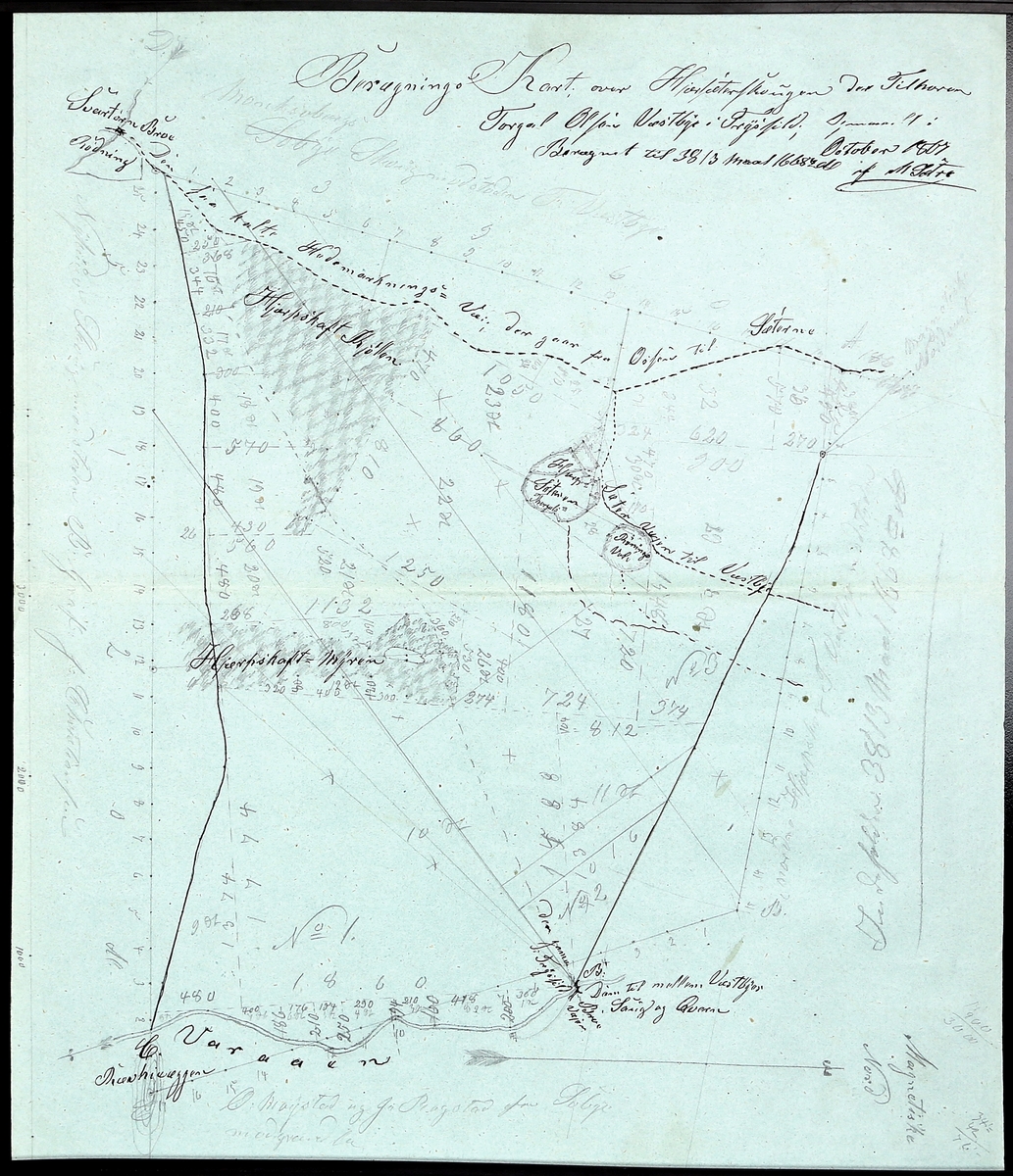
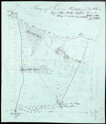
about Kart over skogteig ca 4 km sør for Vestby i Trysil. Nord mot høyre. Teigen ligger mellom Varåa (i øst) og Hedmarkingvegen (nå bare en sti) i vest og omfatter området rundt Jerpskaftmyra og Almengnollen.
Hedmarks-kart i samlingen etter Helge Væringsaasen
I kartsamlingen etter Helge Væringsaasen (1836-1917) finner vi rundt 600 kart fra hele verden. Omtrent 100 er lokale kart fra Elverum og omegn. Her er både utskiftingskart og topografiske kart. De fleste er håndtegnet og kopiert spesielt for Væringsaasen.
Kart over skogteig ca 4 km sør for Vestby i Trysil. Nord mot høyre. Teigen ligger mellom Varåa (i øst) og Hedmarkingvegen (nå bare en sti) i vest og omfatter området rundt Jerpskaftmyra og Almengnollen.
Geir-Harald Strand,
February 11, 2023
Add a comment or suggest edits
To publish a public comment on the object, select «Leave a comment». To send an inquiry directly to the museum, select «Send an inquiry».

")


1 comment
Geir-Harald Strand, February 11, 2023
Add a comment or suggest edits
To publish a public comment on the object, select «Leave a comment». To send an inquiry directly to the museum, select «Send an inquiry».